|
The British Library
Collection information
- Number of objects
- 75

This is a collection from The British Library that is originally published on Europeana.
1 - 40 of 75 objects

[A collection of Russian posters of World War I.]
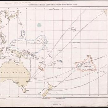
Distribution of French and German Islands in the...
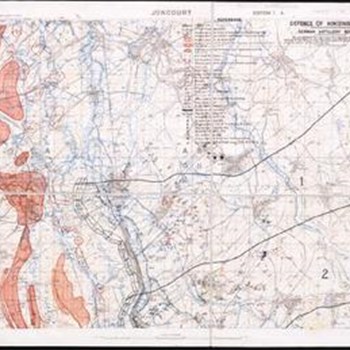
Defence of Hindenburg line. German artillery...
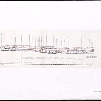
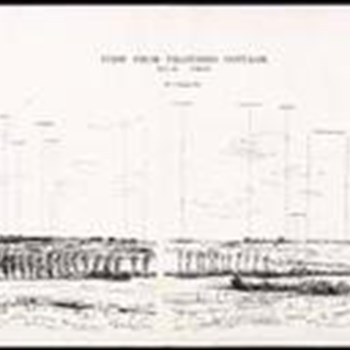
Panoramic Sketch from Gowthorpe ... by Lt. T.S....

[A collection of English and French War Posters.]
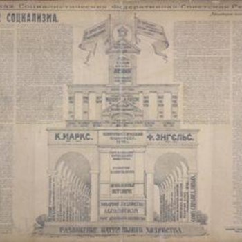
[A Collection of posters issued by the Soviet...
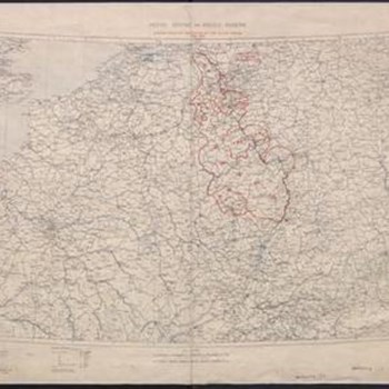
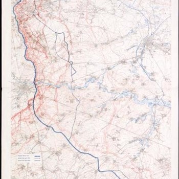
The Western Front. GSGS 3649

Poland : Natural increase, NSID 25

Poland : Lithuanians, Little Russians & Czechs,...
Map of the Somme Front. Scale, 1 : 40,000

The Western Front from Argonne to Vosges. GSGS...

Battle of the Somme. Situation in July August,...
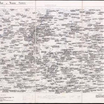
Map of Water Supply . Scale, 1 : 100,000
Panorama looking E.N.E. from Kemmel Tower. J.H.M....

Town Plan of Douaī. Scale, 1 : 5,000. Edition 3

Battle of the Somme. Situations in July, 1916....
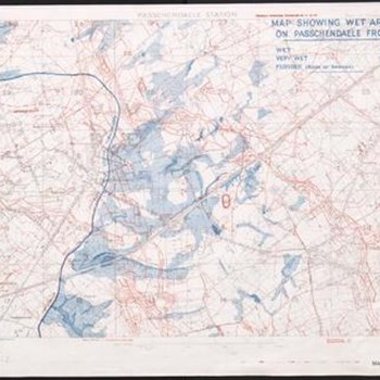
Map showing wet areas on Passchendaele Front
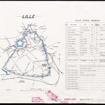
Lille. GSGS 3181
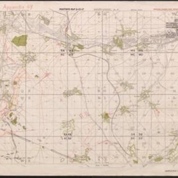
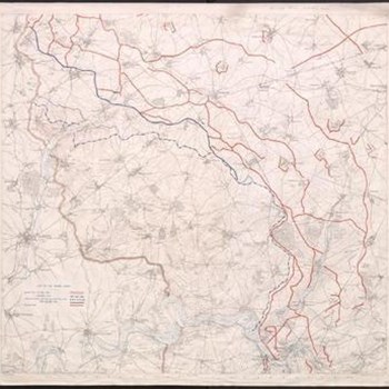
Positions map 3-12-17

Third Army administrative Map. Parts of Abbeville...
[A Collection of Maps of the Theatre of War in...

Diagram in perspective to illustrate control of...

Brussels. Map of Water supply. Scale 1 ; 100,000...
Seine, Meuse and Rhine basins. Shewing areas of...
Battle of Arras. Map showing British advance on...

Belgium and part of France. Scale, 1: 40,000

Poland : Germans and White Russians, NSID 20
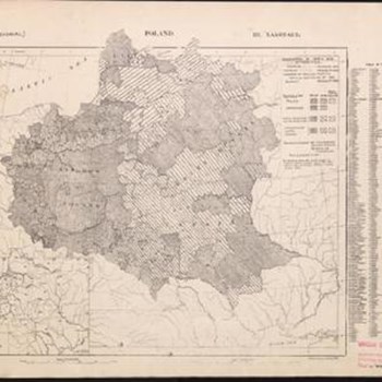
Poland : Language, NSID 18
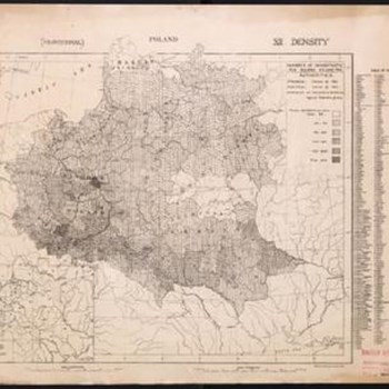
Poland : Density, NSID 24
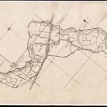
Plan No. 83A. (84A.) Detail of Wire, etc., in No...

Map No. 9. Thielt. Town plan. Scale, 1 : 5,000

Languages in Prussian Poland, NSID 15
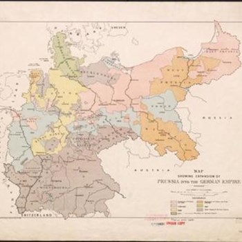
Map showing expansion of Prussia into the German...

[Kharitat al-dunyā]. A map of the world issued by...

The Western Front. GSGS 3649
Water supply Map . Showing relative abundance of...
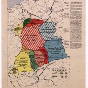
British battles during 1918 (8th Aug. to 11th...

Town Plan of Cambrai. Scale, 1 : 5,000

North West Europe. Scale, 1 : 250,000 ... or...