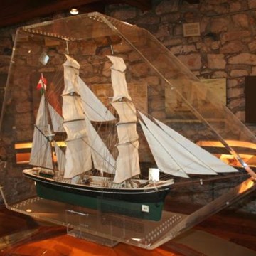
Geographical Diagram. Physical map of the British Isles and

More from this collection View all


Exhibitions and events from this museum

Information age
A major new gallery that will tell the incredible stories of how communications...
Engineer Your Future
Young people will be inspired to think like engineers and have their...